
companies of best accelerometers, gyroscopes, magnetometers for drones SINS! suppliers of SINS, INS, PTZ, PCB, LIDAR, CNSS, RTK, cameras for UAVs in china.
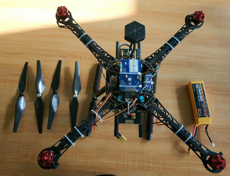
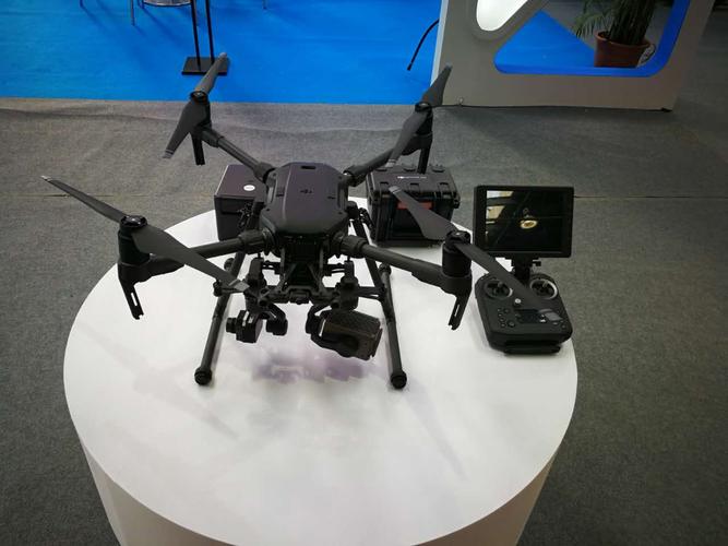
SINS(strapdown inertial navigation systems) includes inertial sensors: accelerometers, gyroscopes, magnetometers. accelerometers measure linear acceleration along the aircraft's body axes. gyroscopes measure angular rates around the same body axes. magnetometers are used to sense the Earth's magnetic field and determine the aircraft's heading.
a SINS(strapdown inertial navigation systems) is a type of navigation system commonly used in drones and other aerospace applications to determine the aircraft's position, orientation, and velocity. unlike traditional inertial navigation systems , which use a platform that remains stationary relative to the earth's surface, a strapdown system is fixed to the aircraft's body, or "strapped down," and moves with it. this design simplifies the system and reduces the need for complex mechanical gimbals.
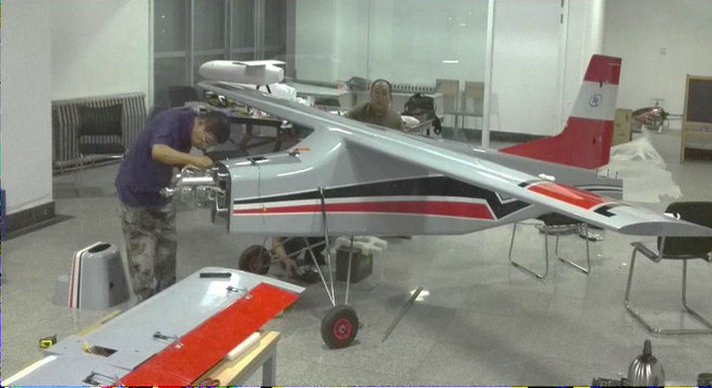
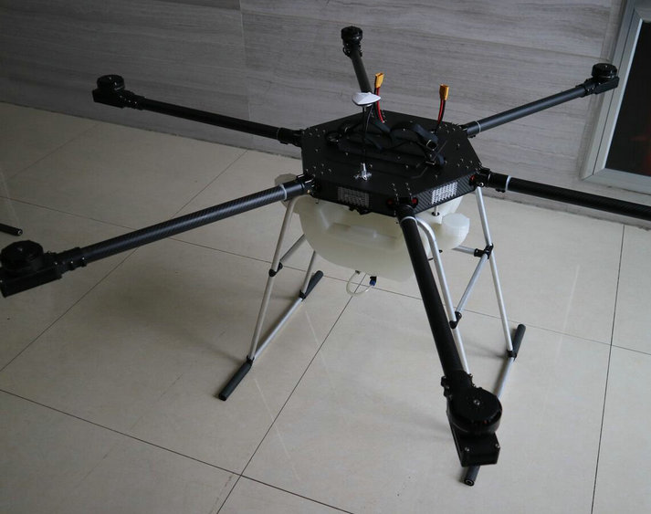
SINS(strapdown inertial navigation systems) continuously integrates the sensor data to compute the drone's position, velocity, and orientation over time. the integration process can be computationally demanding, and errors can accumulate over time. Thus, strapdown INS systems may need periodic updates from external references like GPS.
while SINS(strapdown inertial navigation systems) are widely used in drones, their performance is significantly enhanced when integrated with other sensors and navigation systems. the fusion of data from GPS, barometers, magnetometers, and external reference stations can improve the accuracy, stability, and robustness of drone navigation, especially in challenging operational conditions.
Simplicity: Strapdown systems are mechanically simpler than gimbaled systems because they do not require complex mechanical components for sensor alignment. lighter and more compact: Strapdown systems are typically smaller and lighter, making them suitable for drones and other size-constrained platforms.
drift and error accumulation: Like all inertial navigation systems, strapdown inertial navigation systems is prone to errors that accumulate over time. To mitigate these errors, external sources of information, such as GPS, are often integrated into the navigation solution. initial alignment: a strapdown system may require an accurate initial alignment, where the system's axes are aligned with the aircraft's reference frame.
SINS(strapdown inertial navigation systems) is often used in conjunction with other navigation systems, to improve accuracy and provide error correction. This combination of technologies is known as integrated navigation or sensor fusion. drones and unmanned aerial vehicles (UAVs) use strapdown inertial navigation systems systems for autonomous navigation and control. they are particularly valuable in situations where GPS signals may be unavailable or unreliable.
- home
- products
- contact
- equipments
- UAV
- camera drones
- fixed wing UAV 200
- VTOL aircrafts 220
- hand-throwing fixed-wing UAVs
- quadcopter drones 820
- huge hexacopter UAVs 1550
- big hexacopter UAVs 1100
- drone PCB
- mini drones 180
- PTZ gimbals
- hydrogen powered drones
- drone LiDAR cameras
- FPV drones
- drone hangar
- underwater robotics
- unmanned helicopters
- drone swarms
- aerial photography drones
- agriculture drones
- inspection drones
- police drones
- emergency drones
- logistics drones
- mapping drones
- mining drones