
companies of PTZ pan-tilt gimbals for adults UAVs DJ®, big UAV systems, drone toys! suppliers of PTZ bearings, DJ® drone camera, drone toys,UAV components, UAV parts in china.
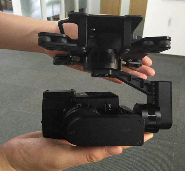
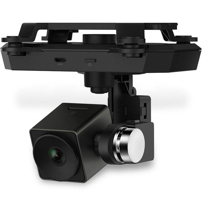
drone Pan-Tilt-Zoom (PTZ) refers to a specific type of camera system commonly used on drones (unmanned aerial vehicles or UAVs) and other remote-controlled platforms. It provides the capability to remotely control the camera's pan (horizontal rotation), tilt (vertical rotation), and zoom functions. this setup allows for flexible and dynamic camera movements, making it valuable for various applications.
drone pan refers to the horizontal rotation of the camera. With the pan function, the camera can swivel from side to side, covering a wide field of view. This is particularly useful for capturing panoramic shots, tracking moving subjects, and surveying large areas.
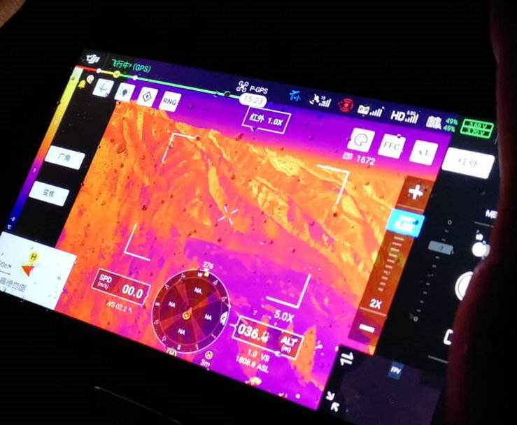
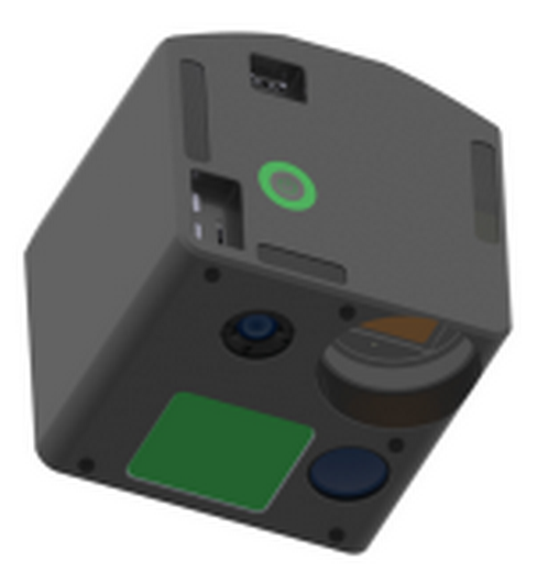
drone tilt, on the other hand, refers to the vertical rotation of the camera. it allows the camera to look up or down. tilt functionality is beneficial for changing the camera's perspective, focusing on objects at different heights, and getting different angles of view.
drone zoom is the capability to adjust the camera's focal length, effectively changing the level of magnification. zooming in allows for close-up shots, while zooming out provides a wider view. it's useful for capturing details or subjects at varying distances.
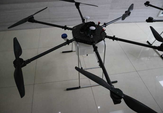
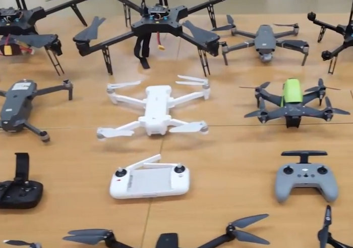
PTZ-equipped drones are widely used in professional aerial photography and filmmaking to capture stunning aerial shots with smooth, dynamic camera movements. drones equipped with PTZ cameras are employed for surveillance and security purposes, as they can monitor large areas and provide close-ups of suspicious activity.
when used in search and rescue operations, PTZ cameras on drones can quickly scan a wide area and zoom in on potential targets or hazards. drones with PTZ cameras are utilized for inspecting infrastructure like bridges, power lines, and towers, enabling inspectors to closely examine structural details.
drones PTZ cameras are used for environmental research, including wildlife tracking, habitat assessment, and environmental surveys. the ability to control the camera's pan, tilt, and zoom functions remotely provides operators with flexibility and precision in capturing images or video footage, making it a valuable tool in a variety of professional and recreational applications.
| types | X20P-IR | ||||||||
| spectral range | 350~1000nm+7.5~13.5μm | ||||||||
| high spectral resolution | 1886*1886 pixels | ||||||||
| thermal infrared resolution | 640*512 pixel full screen temperature measurement | ||||||||
| temperature measurement accuracy | +/-1C (laboratory black body verification) | ||||||||
| number of channels | 164 (expandable) | ||||||||
| detector | 20 MP hyperspectral CMOS+Vox infrared +3.5MP full array composite integrated detector | ||||||||
| imaging method | full array imaging, simultaneous measurement of all channels of hyperspectral, thermal infrared and panchromatic, global shutter | ||||||||
| hyperspectral imaging speed | 2 Cubes/s, 1886*1886 pixels/Cube | ||||||||
| digital resolution | 12 Bits | ||||||||
| pectral output | 168000 Spectra/Cube | ||||||||
| optical aray/FOV | 66/35degree | ||||||||
| communication Interface | skyport electronic cable interface, 2*GigE, 2*USB, HDMI | ||||||||
| storage memory | built-in solid state drive 256G/8G, micro SD | ||||||||
| limit range | pitch direction: +/-50 degree, roll direction: +/-90 degree | ||||||||
| stabilization range | pitch direction: +/-40 degree, roll direction: +/-45 degree | ||||||||
| angle jitter | +/-0.015 degree | ||||||||
| trigger control | flight control provides a trigger signal and obtains GPS data simultaneously. | ||||||||
| structural weight | integrated brushless gimbal structure, overall weight less than 1.5Kg | ||||||||
| flight control | multi-attitude flight modes such as fixed altitude, fixed point, autonomous cruise, one-button takeoff and landing, low voltage protection, automatic return to home, preset no-fly zone, electronic fence | ||||||||
| operating temperature | -10~40C | ||||||||
| drone UAV hyperspectral infrared imager, mini UAV,camera drones, best UAV aircraft, adults drones, big UAV systems, drone toys,unmanned aerial vehicle UAV parts,flight control systems,communication systems,navigation systems | |||||||||
|---|---|---|---|---|---|---|---|---|---|
- home
- products
- contact
- equipments
- UAV
- camera drones
- fixed wing UAV 200
- VTOL aircrafts 220
- hand-throwing fixed-wing UAVs
- quadcopter drones 820
- huge hexacopter UAVs 1550
- big hexacopter UAVs 1100
- drone PCB
- mini drones 180
- PTZ gimbals
- hydrogen powered drones
- drone LiDAR cameras
- FPV drones
- drone hangar
- underwater robotics
- unmanned helicopters
- drone swarms
- aerial photography drones
- agriculture drones
- inspection drones
- police drones
- emergency drones
- logistics drones
- mapping drones
- mining drones