
companies of best drone DJ® nests for police patrol, city management, forest, reservoir, river, lake! suppliers of drone DJ® airports with camera for photovoltaic power station, oil field,fire emergency, in china.
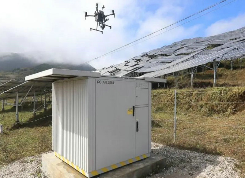
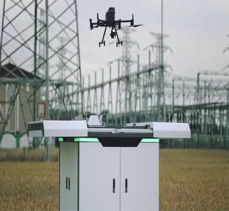
the human-machine automatic flight system will gradually become the infrastructure of digital cities, able to quickly understand more diverse scene services, continue to improve the level of refinement of social public services, and use digital low-altitude to help a better life.
the drone's low-altitude perspective is more comprehensive and three-dimensional, upgrading the previous two-dimensional perspective inspection to a three-dimensional perspective inspection. Through automation and intelligent technology, AI is used to realize the links that originally required manual intervention. The drone's automatic flight system Distributed deployment saves time spent commuting to the scene and greatly improves the efficiency of daily patrol inspections.
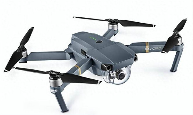
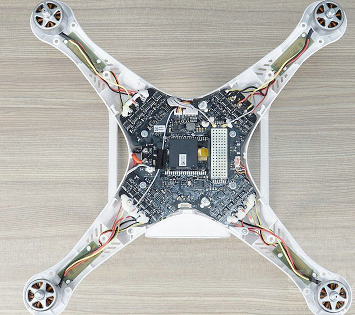
A fully automatic UAV flight system R&D and service provider, focusing on the R&D of automated and intelligent UAV system software and hardware, integrating UAV and automatic airport hardware, management and dispatch software, flight and image computing into a highly intelligent UAV system To meet the low-altitude inspection business needs of government and enterprise users, patrol intervention can be reached at any time through distributed deployment, and inspection data is at your fingertips.aphy drones also support autonomous flight modes, where they can follow a pre-programmed route or automatically track a subject.
drones often provide real-time telemetry data to the pilot, including altitude, speed, battery level, and more. first person view systems allow the pilot to see what the drone's camera sees in real time, enhancing the ability to frame shots accurately.
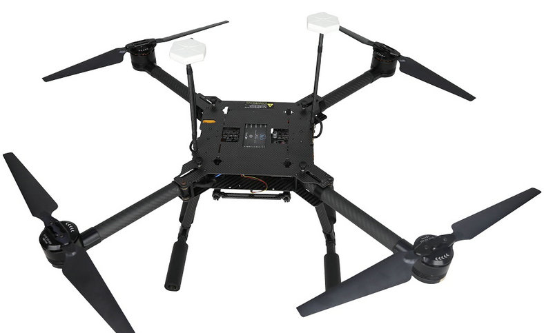
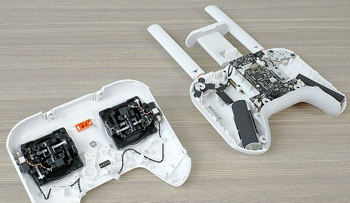
the UAV hangar, adaptive frequency hopping transmission, strong anti-interference ability, selects the optimal channel according to electromagnetic interference conditions, (supports 900MHz/2.4GHz/5.2GHz/5.8GHz)
the drone hangar is high-definition and low-latency, with real-time transmission quality up to 1080P/60FPS, a high transmission bit rate of 64MBPS, and low-latency transmission characteristics of less than 150MS.
the UAV hangar data encryption, full-link data transmission and storage adopt AES-256 encryption, and end-to-end communication data cannot be monitored
| motor shaft distance: | 860mm | ||||||||
| maximum load: | 1kg | ||||||||
| maximum take-off weight: | 7kg | ||||||||
| hover accuracy: | Horizontal +/-0.5m(GPS enabled)+/-0.1(RTK enabled) Vertical +/-0.05m(GPS enabled)+/-0.1(RTK enabled) | ||||||||
| RTK accuracy: | horizontal 1.5cm, vertical 1ppm | ||||||||
| maximum rotation angular speed: | 120% | ||||||||
| maximum elevation angle: | 30 degrees | ||||||||
| maximum rising angle: | 5m/s | ||||||||
| drone box hangar, UAV DJ® nests, best drone airports, quadcopter drones, mini UAV,camera drones, best UAV, adults drones, big UAV systems, | |||||||||
|---|---|---|---|---|---|---|---|---|---|
- home
- products
- contact
- equipments
- UAVs
- drones
- camera drones
- fixed wing UAV 200
- VTOL aircrafts 220
- hand-throwing fixed-wing UAVs
- quadcopter drones 820
- huge hexacopter UAVs 1550
- big hexacopter UAVs 1100
- mini drones 180
- drone swarms
- RTK drones
- hydrogen powered drones
- unmanned helicopters
- FPV drones
- drone hangar
- underwater robotics
- drone LiDAR
- drone propellers
- drone PCB
- PTZ gimbals
- drone frames
- drone motors
- lithium battery
- drone ESC
- drone flight controller
- transmitter receiver systems
- drone antennas
- drone components